Coastal Flood Advisory COASTAL FLOOD ADVISORY - Camarillo
Coastal Flood Watch COASTAL FLOOD WATCH - Camarillo

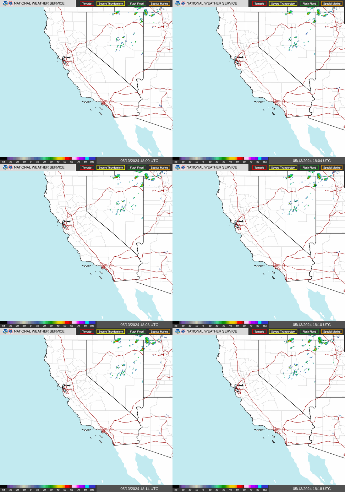
NWS Southwest Regional Radar WU South West Satellite
Radar/Satellite images courtesy of NOAA/NWS and Weather Underground.
spacer
Updated: @ 22-Nov-2026 11:12am - next update at 11:14am  
Summary / Temperature Wind Rain Outlook
Clear Clear
Currently: 68.4, Max: 68.8, Min: 44.9 68.4°F
Warmer 4.7°F than last hour.

Comfortable

Feels like: 68°F

24-hr difference
-1.7°FColder 1.7°F than yesterday at this time.
  Today Yesterday
High: 68.8°F
11:03am
72°F
12:30pm
Low: 44.9°F
6:48am
42.5°F
3:35am
 Wind from SW SW
2
Gust:
6 mph
1 Bft - Light air
Today: 13 mph 6:24am
Gust Month: 25 mph November 6
Rain Today: 0 in
Rain Rate (/hr): 0 in
Rain Yesterday: 0 in
This Month: 2.02 in
Season Total: 10.56 in
3 days since last rain.
Tonight

Tonight: Chance Light Rain then Partly Cloudy
Chance Light Rain then Partly Cloudy
Humidity & Barometer Almanac Moon
Humidity: 49 % Increased 7.0% since last hour.
Dew Point: 48.5°F Increased 5.0°F since last hour.
Barometer: 30.05 inHg  
Baro Trend: Falling slowly
Sunrise: 6:34am
Sunset: 4:50pm
Moonset: 4:25am
Moonrise: 3:11pm
Waxing Gibbous
Waxing Gibbous, Moon at 12 days in cycle
95%
Illuminated
UV Index Forecast UV Index Forecast
22-Nov-2026
2.6     Low 
23-Nov-2026
2.6     Low 
 NWS Weather Forecast  - Outlook: Today & Tonight
Today

Today: Mostly Cloudy then Chance Light Rain
Mostly Cloudy then Chance Light Rain

Hi 67 °F
NWS forecast: A chance of rain after 4pm. Mostly cloudy, with a high near 67. West wind around 5 mph. Chance of precipitation is 50%. New rainfall amounts less than a tenth of an inch possible.
Davis VP+ forecast: Increasing clouds with little temperature change. Precipitation possible within 24 to 48 hours.
 
Tonight

Tonight: Chance Light Rain then Partly Cloudy
Chance Light Rain then Partly Cloudy

Lo 48 °F
NWS forecast: A chance of rain before 10pm. Partly cloudy, with a low around 48. North wind around 5 mph. Chance of precipitation is 50%. New rainfall amounts less than a tenth of an inch possible.
Animated icons courtesy of www.meteotreviglio.com.
Countdown to Winter
 Winter Solstice begins December 21st at 12:50pm   PST  


WEATHER STORY
Boise
Weather Forecast Office
Sunday: Mountain Snow & Valley Mix
Snow showers will develop above 3000-3500 ft across eastern Oregon and portions of southwest Idaho early to mid Sunday, decreasing by Sunday evening. Highest snowfall amounts are expected over west-central Idaho and the Boise Mountains, with lower amounts elsewhere. Low elevations will see light rain or a mix of rain and snow. Meanwhile, anticipate drier conditions in south-central ID.

Data Courtesy of Boise Weather Forecast Office

San Juan, PR Lake Charles, LA Pueblo, CO Corpus Christi, TX St. Louis, MO Reno, NV Raleigh, NC  Newport/Morehead City, NC Dodge City, KS Houston/Galveston, TX San Joaquin Valley/Hanford, CA Louisville, KY Fort Worth, TX Pittsburgh, PA Austin/San Antonio, TX Sacramento, CA Jackson, MS Phoenix, AZ Northern Indiana, IN Flagstaff, AZ Tallahassee, FL Springfield, MO Riverton, WY Blacksburg, VA Sioux Falls, SD El Paso Area, NM Columbia, SC Wilmington, NC Greenville-Spartanburg, SC Eureka, CA Midland/Odessa, TX Tucson, AZ Goodland, KS Huntsville, AL Amarillo, TX Norman, OK Lubbock, TX Marquette, MI Little Rock, AR Pendleton, OR Missoula, MT Binghamton, NY Boston, MA Green Bay, WI Billings, MT Baltimore/Washington San Diego, CA Tampa Bay, FL Morristown, TN Twin Cities, MN Brownsville, TX Portland, OR Des Moines, IA Memphis, TN Pocatello, ID San Angelo, TX Jacksonville, FL Aberdeen, SD Quad Cities, IA/IL Charleston, SC New Orleans/Baton Rouge, LA Peachtree City, GA Shreveport, LA Grand Rapids, MI Medford, OR Albany, NY Wichita, KS Gray/Portland, ME Spokane, WA Boise, ID Denver/Boulder, CO Great Falls, MT Caribou, ME Key West, FL Miami-South Florida, FL New York City/Upton, NY Melbourne, FL Hastings, NE Paducah, KY Glasgow, MT Bismarck, ND Charleston WV Omaha/Valley, NE Buffalo, NY Jackson, KY Kansas City/Pleasant Hill, MO Gaylord, MI Cheyenne, WY Grand Forks, ND Detroit/Pontiac, MI Central Illinois, IL Burlington, VT Salt Lake City, UT Topeka, KS Nashville, TN Milwaukee/Sullivan, WI Albuquerque, NM Las Vegas, NV Wakefield, VA La Crosse, WI Birmingham, AL Los Angeles/Oxnard, CA Chicago, IL Seattle, WA Rapid City, SD Indianapolis, IN Philadelphia/Mount Holly, PA Mobile/Pensacola State College, PA Cleveland, OH Elko, NV Wilmington, OH Grand Junction, CO North Platte, NE Tulsa, OK San Francisco/Monterey Bay Area, CA Duluth, MN